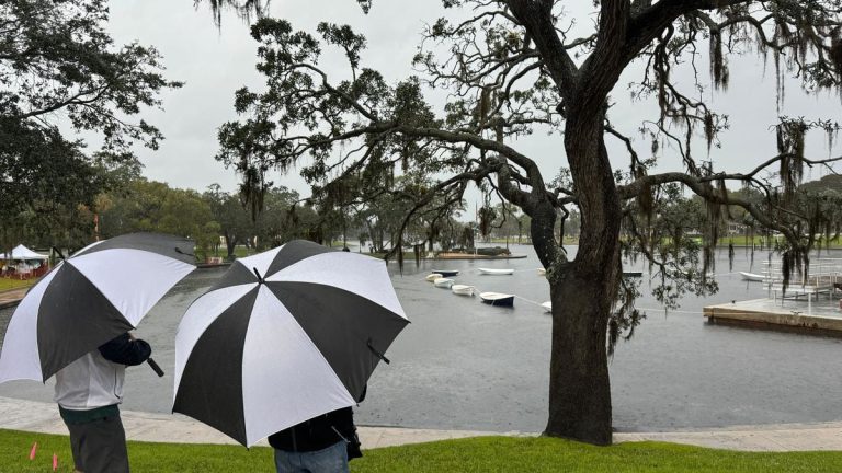
The Tampa Bay area is seeing a rainy start to the week, according to the National Weather Service.
On Monday and possibly Tuesday, forecasters expect isolated afternoon thunderstorms, similar to familiar summer storms in Tampa Bay (hello, old friend) when a sea breeze collides with warm air. Then later Tuesday into Wednesday, a cold front will bring a chance for severe weather.
The weather service said there was a “marginal risk” of severe weather for much of Florida that day, including the Tampa Bay area.
“There's a little bit of uncertainty about the timing of this front crossing, but we think the consensus early Wednesday morning is the consensus,” said Ross Giarratana, a meteorologist with the National Weather Service's Tampa Bay office.
Strong storms can bring hailstones up to an inch in diameter, along with gusty winds.
Over the next few days, the Tampa Bay area will likely receive up to an inch of rain, with pockets of larger amounts as areas experience thunderstorms, Giarratana said. Most of the rain will fall on Tuesday and Wednesday.
“There will be a much greater chance for most of the region to see at least some rain and possibly experience some storms,” Giarratana said.
Although the cold front brings more severe weather, there will be little change in temperatures. Most of the week will remain in the low to mid 80s across Tampa Bay, but Thursday and Friday will likely be a bit drier.
March is a transition month, Giarratana said. This happens when cold fronts that have been advancing toward the region since November begin to struggle to reach Tampa Bay.

