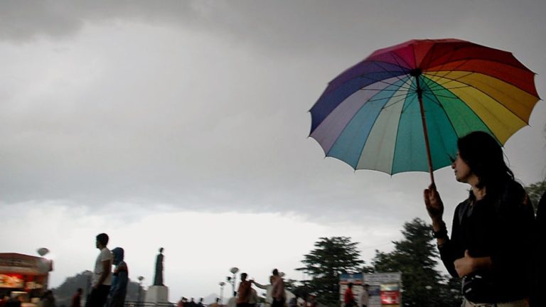

Representative image
(TOI, BCCL, Chandigarh)
Monday 4 March: While March has officially kicked off summer across India, the country's stubborn northwestern states are still experiencing cooler than usual temperatures. Reports indicate that several western Himalayan states, including Himachal Pradesh, Uttarakhand and Jammu and Kashmir, are witnessing below normal temperatures. Now, residents in some of these areas may also need to prepare for rain this week.
According to the India Meteorological Department (IMD), a western disturbance is located near Jammu Kashmir as a low area, while another disturbance will affect the western Himalayan region from tomorrow night onwards. The Meteorological Department expects that many parts of northwest India may experience rain and snow due to the combination of these systems.
Under its influence, some divisions of Jammu and Kashmir, Ladakh, Gilgit, Baltistan, Muzaffarabad, Himachal Pradesh and Uttarakhand could witness rain (or snow, depending on the elevation of the area) on Monday, March 4. It will also witness light to moderate rain or snowfall. The impact has been isolated to scattered areas of Uttarakhand, Himachal, Jammu Kashmir and Ladakh from Tuesday to Thursday (March 5-7).
Despite the regional rain forecast, Dehradun does not look to witness any wet patches this week. Daytime temperatures in the Uttarakhand capital will continue to rise throughout the week, hovering between 25-26 degrees Celsius by Friday (March 8).
However, light rain is expected to affect Shimla on Monday, Wednesday and Thursday. This amount of rainfall will help restrict maximum temperatures to 14-16 degrees Celsius till the end of the week in the Himachal capital.
Although initially dry, conditions will begin to rain in the latter half of the week in Srinagar. The IMD expects rain or thundershowers to hit the city from Wednesday to Friday (March 6-8), which will help regulate daytime temperatures at 11-12 degrees Celsius until Friday.
The IMD's long-range forecast indicates that March will be an exceptionally wet month in most parts of the country, except for some extreme northeastern parts of Ladakh. So far, Ladakh (8.9 mm vs. 1.1 mm normal), Jammu Kashmir (69 mm vs. 14 mm normal), Himachal Pradesh (79 mm vs. 12 mm normal) and Uttarakhand (32 mm vs. 9 mm normal) have achieved exceptional amounts of rainfall on days All three since the beginning of the month – a promising start for the road ahead.
In fact, the incessant rains have already affected the area. According to an IANS report, the Srinagar-Jammu National Highway was closed for the second consecutive day on Sunday. Citing rain-triggered landslides as the cause, officials said efforts were underway to restore the highway for traffic. In addition, Srinagar-Leh Road, Mughal Road, Senthan-Kishtwar Road, Bandipora-Gurez Road and Kupwara-Tangdhar Road remain covered in snow and closed for traffic.
In another western Himalayan state, heavy snowfall triggered an avalanche in the remote Lahaul-Spiti district of Himachal Pradesh on Sunday. Officials explained that the event occurred near Tandy Bridge, resulting in several shops being partially buried under snow. Fortunately, the accident did not result in any casualties. The Himachal State Disaster Management Authority issued a travel warning after the avalanche, indicating the possibility of more events in Chamba, Lahaul-Spiti, Kinnaur and Kullu districts.
**
For weather, science, space and COVID-19 updates on the go, download the Weather Channel app (on Android and iOS Store). It's free!

