With record ocean temperatures, this could change El Nino in ways we've never seen before.
Fall may have just begun, but meteorologists are already looking ahead to the upcoming winter season with the help of El Niño.
El Niño is a warmer than normal ocean surface temperature in the eastern tropical Pacific Ocean, affecting weather around the world, including the United States.
The warming ocean is helping to shift the position of the Pacific jet stream, allowing warmer-than-normal air to move into parts of North America.
Typically, the United States begins to see significant El Niño effects in late fall and early winter and these effects continue into early spring.
What is an El Nino winter?
On average, during an El Niño winter, the northern United States experiences warmer than average temperatures, as the polar jet stream stays north and keeps cool air in Canada.
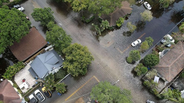
Meanwhile, the south is wetter than normal due to an active subtropical jet stream fed by warm, moist air from the Pacific Ocean.
Additionally, the Ohio Valley and central Mississippi River Valley are expected to remain drier than normal, which could worsen drought in the region.
The National Oceanic and Atmospheric Administration has updated its winter forecast for the United States and it looks very similar to a traditional El Nino winter.
El Nino forecast for winter 2023 in the United States
Temperatures are expected to be warmer than normal across the northern United States, from northern California, Oregon and Washington to Pennsylvania, New York and New England.
The National Oceanic and Atmospheric Administration (NOAA) says temperatures will remain closer to the 30-year average in the South.
For precipitation (rain, snow, sleet, etc.), northern states could see less snow than normal, especially in the northern Rockies and Great Lakes.
Conditions are expected to be wetter than normal across much of the South, especially in the Southeast from Louisiana to Florida and the Carolinas.
For the Northeast, there is a possibility that this winter will be wetter than normal from Washington, D.C., to Philadelphia, New York City, and southern New England.
With warmer than normal temperatures forecast for the Northeast, major I-95 corridor cities will see more rain than snow.
With ocean temperatures rising to record levels this year around the world, this could change El Niño in a way we have never seen before.
Another thing to note is that this is all a probabilistic forecast. The atmosphere is very fluid and dynamic, and expectations can change.

