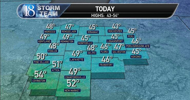
Highs today reached 43-54 after a few scattered snow showers fell in our southwest pocket last night without accumulation.

_______________________________
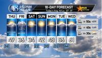
Your 10-day forecast:

_______________________________
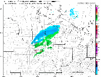
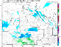
Clipper #1 passes through a fast-moving band of rain Thursday morning in the 7-11 a.m. time frame over the viewing area. Rainfall of 0.05-0.15 inches is expected.
After that, some sun appears and then the clouds return with a few sprinkles before clearing again.
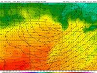
The highs will fall from 44-51 to 40-47 later in the day after the lows rise from 31-40 to 42-46 early Thursday morning.
Southwest to west to northwest winds may reach 34-43 with sustained winds of 15-25 mph.

_______________________________
After mostly clear skies, clouds build up quickly Thursday night – early Friday morning with lows 28-32.
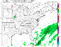
Clipper No. 2 Friday morning will experience a mostly snow flurry generally from 8 a.m. to noon.
Melts out in the afternoon with highs 33-37 with northwest winds 8-15 mph after north-northeast winds early.
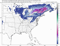
Snowfall of 1 inch or less is expected across the region at this point.

_______________________________
Saturday will be cooler with highs reaching 31-36, but there will be wall-to-wall sunshine after 17-22 a.m.
Sunday looks to be windier and warmer and mostly sunny to sunny. High temperatures are expected to reach 40-45 with south to southwest winds 15-35 mph.
This comes after warmer weather on Monday, Tuesday and Wednesday. Highs could reach 60-65 on Wednesday after 55-60 on Tuesday and 45-50 on Monday. Each day will see plenty of sunshine, breeze and wind.

_______________________________
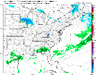
Another Alberta Clipper may bring some rain near Thursday, followed by another Friday. Precipitation appears scattered and light (0.10 inch or less of precipitation each).
It gets even colder next Saturday with temperatures rising to 32-37 after highs in the 50s on Thursday and 40s on Friday.

_______________________________
We then quickly warm up to spring levels again before it cools off and then watch this system that may bring rain/snow to rain before ending with some snow at the end of February:

_______________________________
We'll see how it develops. At this point, it's our best chance at 1-2 inches for February.

_______________________________
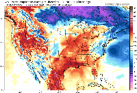
You see the warmth disappearing and the cold weather accelerating behind this storm system.
So, today could have highs of 27-32 with lows in the teens.

_______________________________
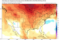
However, after a cold start to March, we are quickly warming to a much higher than normal level with an overall spring feeling by March 5, it seems. 70 is possible for part of the area.

_______________________________
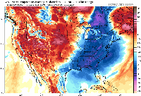
The middle of the month becomes cooler with temperatures falling well below normal after this mild weather until early March. Randomly accumulating wet snow (possibly the heaviest of the year so far) could fall on the daffodils!

_______________________________
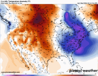
Temperatures may drop to 15-20 degrees below normal (normal high/low 50/30):

_______________________________
Late March looks warm with days potentially reaching 80 degrees in parts of the region.

_______________________________
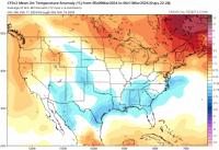
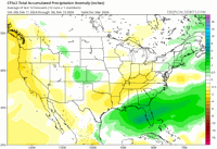
I'm becoming more confident in the generally below normal rainfall for March at this point.

_______________________________
23
_______________________________
23
_______________________________
23
_______________________________
23
_______________________________
23
Do you have a story? Let us know here
Watch more on WLFI wherever you are
With so many ways to find live broadcasts, it's easy to get the latest content from WLFI. You can find us on Roku, Fire TV, Apple TV, and other smart TV platforms so you can watch us anytime. Enjoy live newscasts or replays of our latest news along with weather forecasts and local sports only in the regions.

