Roanoke, Virginia -It's the first Monday of February, and the weather is very normal. We start the day with some frost on the windshield, but the sunshine will bring us back into the 50s (like it did last weekend).
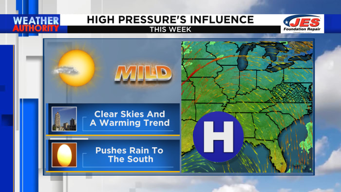
High pressure will promote sinking air, meaning clear skies through at least Wednesday. It will also shift most of the rain to our west this week.
As high pressure collapses, the system that produced an atmospheric river in California will move from coast to coast. We won't see life-threatening flooding or feet of mountain snow, but it could lead to a wetter weather pattern at times.
During that period, high temperatures will be in the 60s later this week and into the weekend.
Snow lovers are about to raise the white flag. However, keep in mind that we can get snow late in the season (especially during El Niño winters like this one).
The Climate Prediction Center's forecast for Week 3-4 shows cooler than average weather across the southern United States along with the possibility of a persistent storm track.
Although we are not tracking any specific storm, this is the trend we will follow later in the month and into early March.
[FOLLOW OUR UPDATES by downloading our free weather app here.]
Copyright 2024 by WSLS 10 – All rights reserved.

