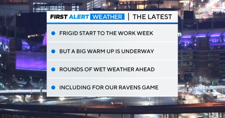
BALTIMORE — Temperatures this morning are warmer than Monday but still very cold! We wake up in the upper 20s and low 30s.
Clouds will increase on Tuesday, but conditions will likely remain dry in most areas. A brief shower may occur in western Maryland, with a slight chance of showers to the south and east by tomorrow evening. This will be mostly rain, but there is a small chance of freezing rain in far western Maryland at the start of the event. This may impact travel early Wednesday morning.
Rainfall chances increase on Wednesday and into the night. Highs on Wednesday are expected to be in the upper 40s and lower 50s on Wednesday.
The weekend and end of the week look unstable to say the least. It will be unseasonably humid and warm. There will not be sustained heavy rain, but we will see increased periods of precipitation and unusually warm temperatures.
A warm front will rise north of the region by Friday. Friday will be the warmest day of the week, as some parts of southernmost Maryland could see highs reach 70 degrees. Humidity will also rise, with dew point temperatures in the 50s and 60s, as air from the Gulf of Mexico moves into the region.
This combination of moisture, warmth and rain will cause snow to melt quickly, potentially causing localized flooding, especially in urban or poorly drained areas. We will monitor snowmelt and rain later this week to determine the extent of any flooding… if any.
Friday will likely see heavy rain as a cold front passes through. Rain chances may continue into Saturday, depending on how quickly the low pressure trough and front move out of the area.
Another low pressure system is expected to move into the area from the southwest by Sunday, bringing another round of increased rain chances in time for the AFC Championship game. Expect cooler weather Saturday through Sunday with highs in the 50s on Saturday then 40s on Sunday.
Rain chances are increasing to start next week with highs in the 40s.

