
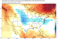
February 2024 ended up being the fourth warmest month on record.
Top 10 Warmest February Months:
1.41.1°….1930
2.40.0°…2017
3.39.4°…1927
4.39.2°…2024
5.38.9°…1932; 1938
6.38.8°…1931; 1998
7.38.4°….1976
8.38.1°….1882
9.37.2°….1992
10.37.0°…2023
Rainfall was below normal, but the amount of 1.10 inches wasn't in the top 10.
_______________________________
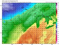
Today's highs reached 43-50 after 41-47 yesterday.
After a few/scattered showers and sprinkles from this afternoon this evening, we will see a low overcast with areas of fog later tonight into Saturday morning.
Low clouds and fog will burn off with plenty of sunshine Saturday with south winds and highs of 56-63.
Low, patchy clouds and fog will burn off for 66-73 on Sunday with sun and strong south winds eventually gusting to 30-40 mph. The record is 75 set in 1974.
Monday looks to be partly cloudy with windy weather and 71-76. The projected high of 74 degrees in Greater Lafayette is 3 degrees off the record high of 77 set in 1983.
Midday temperatures on Monday are expected to reach 69-73:

_______________________________
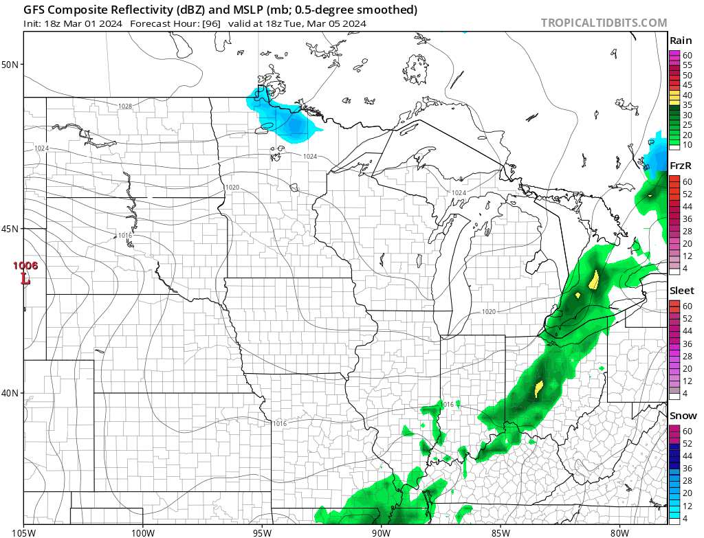
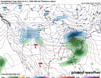
There are showers and thunderstorms Tuesday morning through midday and showers/thunderstorms Friday evening into Saturday morning.
The main area of severe weather is the southwest, south and southeast of us, but either may bring us marginal risks here. We will monitor.
_______________________________
After those rains and storms, we get a break, followed by more Monday and Tuesday, March 11-12.
Some isolated severe weather risks (marginal risks) are possible Monday through Tuesday, but the main areas of slight to enhanced risk still appear to be west, southwest and south of our region at the moment.
Rainfall of 1.75 to 2.75 inches is entirely possible March 8-13 overall.
This makes me think I should have stuck with my original and analogical thinking about a wetter than usual March. The model data has me drier, but I can't ignore my original thinking and the analog data for above-normal precipitation for March.
_______________________________
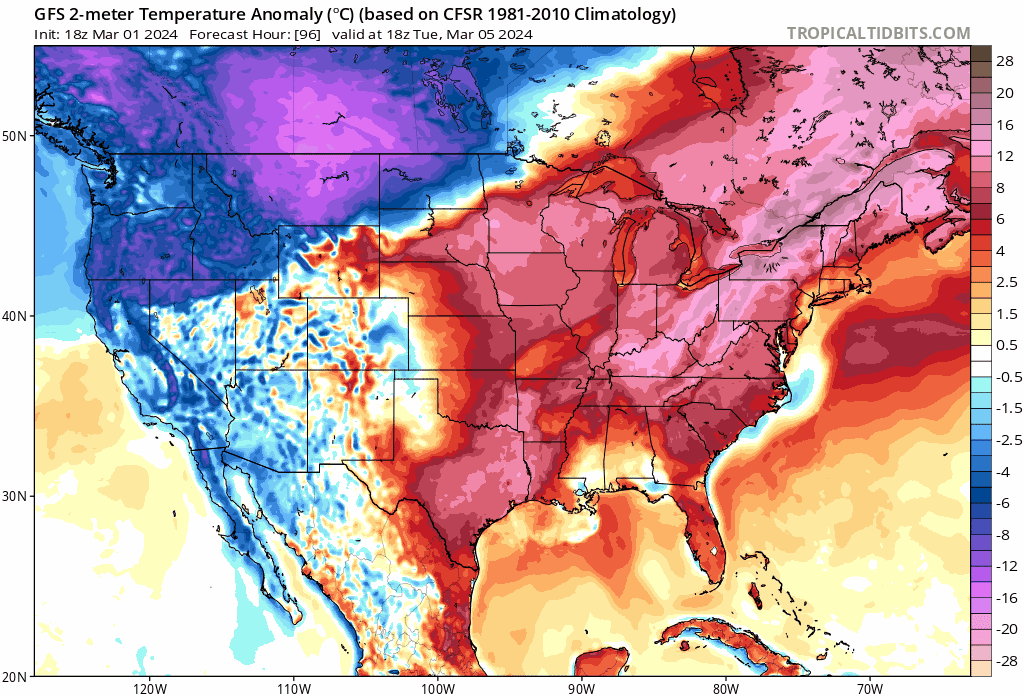
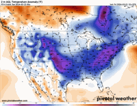
Note continued rounds of above normal temperatures through March 17.
There is a lack of normal or below normal temperatures in March here.

_______________________________
Between March 18 and 22, another storm system or cold frontal corridor is likely. Due to a strong cold front, we will be watching the marginal risks for severe risks in our area. The best severe weather risks are in the southwest and south-southeast of our region.
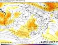
A very strong upper jet line in California will likely push a severe enhanced hazard scenario to the south, southeast, and parts of the Southern Plains as it deepens the trough that rolls east and northeast.

_______________________________
Two waves of temperatures as high as 20 degrees below normal remain to impact the region in late March, largely in the March 23-29 timeframe.
A hard freeze will occur with teens up to age 20 and accumulating snowfall is possible. Some damage to plants is expected as it warms.
Two waves of cooler weather:


_______________________________
Watch for accumulating snowfall in late March. The largest winter snowfall was 0.5-6 inches. Can we get 3-6 inches? It's hard to know with 100% certainty, but the pattern and analog data are there for that.
Even if that happened, it wouldn't last long.

_______________________________
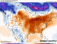
Warmth picks up to start April with rain/storms expected after a dry end to the month.


_______________________________
Temperatures rise to 15-20 degrees above normal after the winter high.

_______________________________
A deep, negatively slanted upper trough with warmth and instability supports the idea that there is extreme danger here to start April or in the first few days of April.

_______________________________
Thoughts are that the cold could send us 15-20 degrees below normal sometime in early April before April 15.
A moderate freeze and some flashes cannot be ruled out 100%.
Ideas are that the period from April 6 to 12 may end with a lower than normal temperature.

_______________________________
A period of wet weather is expected in mid-April, followed by a dry period.
April will likely end up normalizing to slightly cooler than normal temperatures and above normal precipitation.
Looking at CAS models of soil moisture, wet soils in this wetter regime should dry out well into the end of April (based on the latest models and analogue evidence).
The weather then becomes wetter and windier again, followed by a drier trend in late May.
It looks like May will see a bit more rain than normal, but the end of the month should feature drier soil as temperatures rise and running stops.