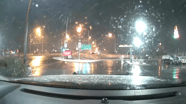
Drivers were encouraged to be careful Friday evening as winter weather returned, bringing a dose of snow to the Chicago area.
In a post on X, the social media platform formerly known as Twitter, the National Weather Service explained that slippery conditions will likely develop by mid-evening and continue throughout the overnight hours. Temperatures will likely drop into the 20s, perhaps mid 20s with wind gusts reaching 35 mph.

While it's unclear how quickly roads will become slippery, drivers should prepare for potential travel impacts and be especially careful on bridges and overpasses, according to the NWS.
Although not much snow is expected, communities in the blue shaded area above could see accumulations of about an inch of snow before midnight. An additional round of light lake effect snow will move in next – likely between 12 and 6am
Regardless of the impact, the big story Saturday will be cooler conditions, with temperatures expected to be in the 30s across the region.
This change will be very short-lived, as temperatures will likely return to the mid-50s across the region by Sunday afternoon.
In fact, that will just be the beginning of the warm-up. Temperatures on Monday are expected to rise into the 60s, and may even threaten records in Chicago, where the record set on February 26 stands at 64 degrees, according to the National Weather Service.
Tuesday will be warmer, with readings in the mid to upper 60s, but there is also a chance of rain that could factor into the forecast. These showers will continue into Wednesday, with some mixed rain possible as another front moves through the area.

