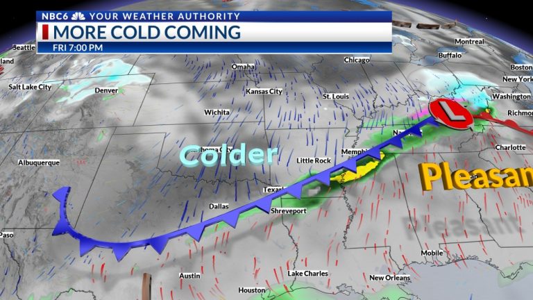
SHREVEPORT, La. (KTAL/KMSS) – A strong cold front will move through the ArkLaTex Friday evening and Friday night. A little rain will be possible near the front. Cooler air moves behind the front. The warmest air of the year so far is expected by the middle of next week.
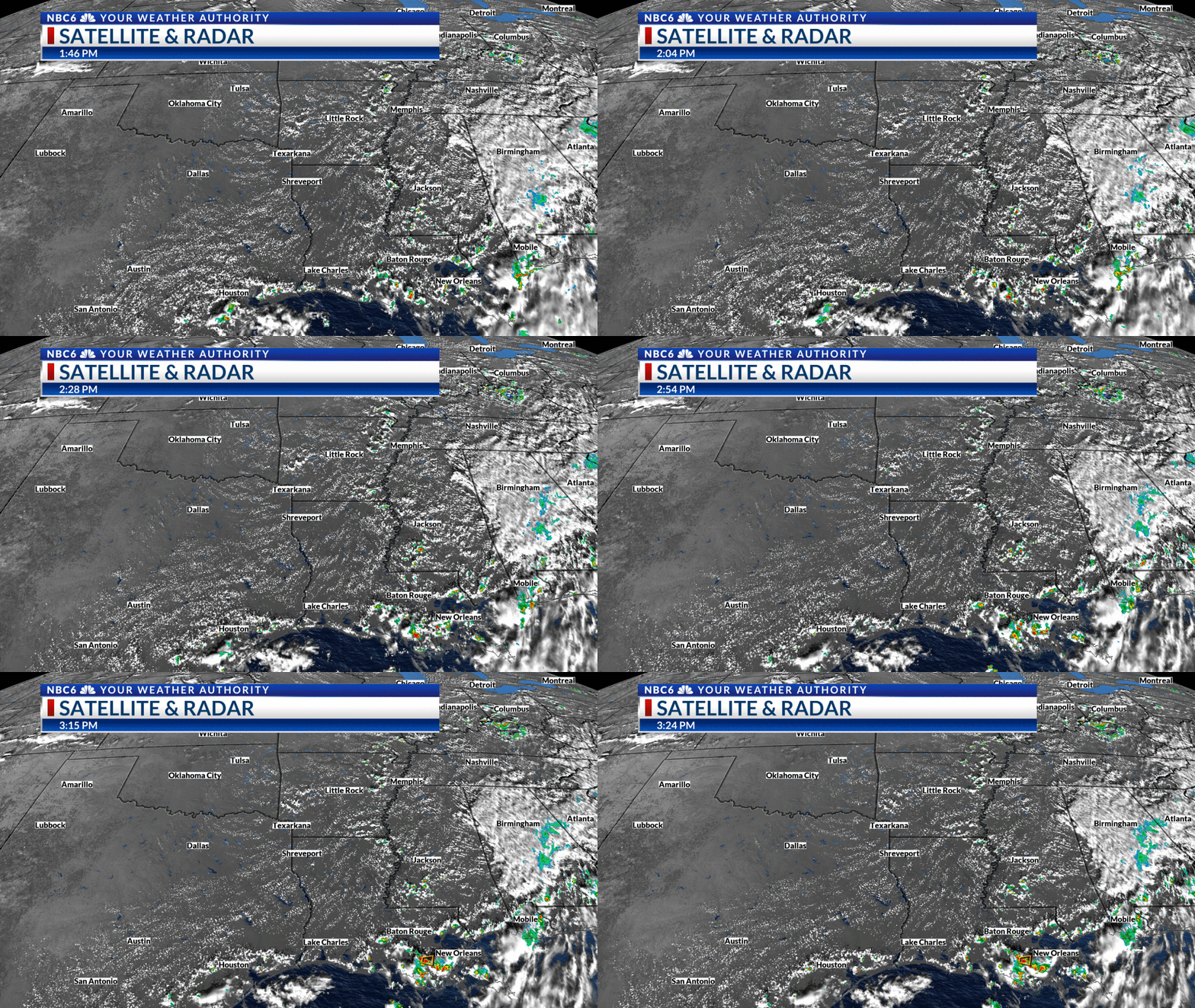
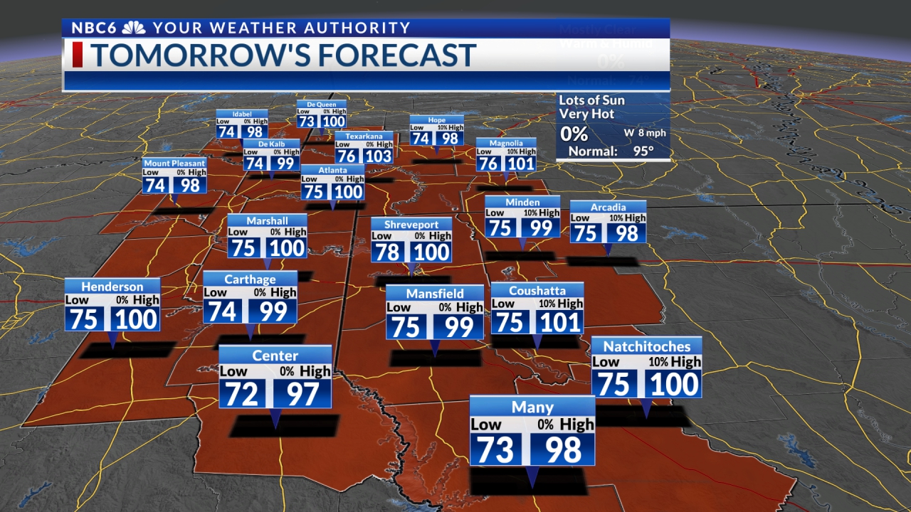
Prepare for low temperatures: The warming trend continued across much of the ArkLaTex on Thursday. Temperatures rose into the 60s and lower 70s. Expect much of the same on Friday before a big drop in temperatures this weekend. Friday morning lows will be well above normal in the low to middle 50s. We will see highs on Friday back into the 60s and low 70s. It will get colder this weekend. Saturday morning lows will drop into the 30s. Saturday afternoon we will likely struggle to see temperatures in the 50s. Saturday night temperatures will drop into the 20s and lower 30s. The warming trend will begin Sunday with highs returning to the mid to upper 50s.
Strong cold front and little rain: Futurecast continues to show a lot of clouds over the ArkLaTex Thursday night. Friday will be a mostly cloudy day. Light rain is likely in a few areas on the southern edge of the region. A scattered band of rain will likely develop along the cold front late Friday afternoon somewhere near Interstate 30. This band of rain will gradually weaken as it spreads southward Friday evening and end Friday night. Saturday will start with partly cloudy skies and end with some sunshine. We will then see mostly clear skies Saturday night and plenty of sunshine on Sunday.
Warmest air of the year? So far in 2024, the warmest temperature on record in Shreveport is 79 degrees. The warming trend I mentioned earlier that begins Sunday will continue into Wednesday. It looks more promising that we will see highs on Wednesday in the upper 70s to 80s. It will then cool somewhat to close out the week as highs will drop back to the upper 60s to lower 70s. We will see overnight lows next week which will mainly be in the 40s and 50s.
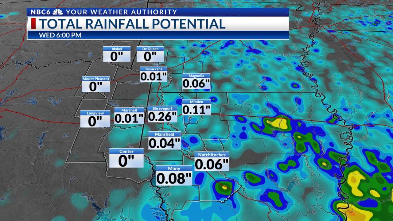
Very little rain: The only threat of rain between now and the end of next week will likely be Friday night and Friday. Most models show quantities to be ¼ inch or less. Futurecast shows that we can see some scattered areas between Texarkana and Shreveport that are capturing more than ½”. Next week and the coming weekend will likely remain dry. This may be one of the most pleasant periods of weather we experience all year! Enjoy!!
Join me this evening at 8:30pm for tonight's live update. Simply go to the main weather page or scroll down within this article.

