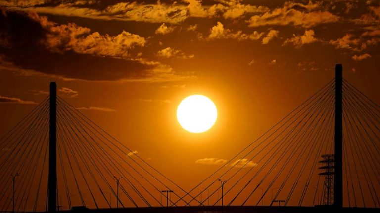
Forecasts indicate that several dangerous and potentially catastrophic weather phenomena will occur simultaneously across the country on Sunday.
Events include flash flooding, extreme heat and poor air quality caused by wildfires, prompting the National Weather Service to issue alerts to more than 100 million people.
Tropical Storm Hillary could wreak havoc in the West
The threats posed by Tropical Storm Hillary as it approaches the West Coast could be historic.
This system is the first tropical storm to reach California since 1997.
Hillary was a Category 4 hurricane, but it weakened to a tropical storm Sunday morning, when it was about 220 miles southeast of San Diego and moving at 25 mph to the north-northwest.
Hillary is expected to move across Southern California on Sunday afternoon, bringing catastrophic, life-threatening flooding to parts of the Southwest through Monday, forecasts show. The peak rainfall will occur Sunday afternoon and evening.
The outer reaches of the storm have already begun to absorb parts of the southwest. About a quarter of an inch of rain had already fallen in Palm Springs on Sunday morning, while San Bernardino saw about 0.8 of an inch, according to an 8 a.m. PT warning from the National Hurricane Center.
The storm system could weaken back to a tropical depression as it passes through Death Valley on Sunday evening and then weaken to a post-tropical cyclone when it reaches Oregon on Monday morning.
Rainfall amounts of 3 to 6 inches, with isolated amounts of 10 inches, are expected across parts of Southern California and Southern Nevada. Forecasts show some areas will see a year or two's worth of rain within days, with 3 inches likely to fall in just one hour in some places.
Hillary will likely become the wettest known tropical cyclone, post-tropical cyclone, or remnant tropical cyclone to impact Nevada, Idaho, and Oregon.
Across parts of Oregon and Idaho, rainfall totals are expected to range from 1 to 3 inches, with 5 inches forecast in some areas, through Tuesday morning, which will likely cause major flash flooding.
The Meteorological Service said that heavy rainfall accompanied by strong winds expected at high elevations could lead to mudslides and landslides in parts of the west, which could be exacerbated when trees are uprooted by saturated soil.
One or two tornadoes are possible through Sunday evening over portions of the lower Colorado River Valley, Mojave Desert and Imperial Valley areas.
Wildfires cause poor air quality in the Pacific Northwest
Hazardous air quality currently blankets much of the Pacific Northwest as wildfires force people to evacuate their homes.
The gray fire has burned nearly 11,000 acres in Spokane County, Washington, and was 0% contained Sunday morning. Nearly 200 structures were lost to the fire, and parts of Interstate 90 were closed due to reduced visibility due to heavy smoke, officials said.
The Oregon Road Fire, also in Spokane County, has burned more than 8,000 acres and was 0% contained Sunday morning.
The Winona Fire in Whitman County, Washington, is 40% contained so far and has burned more than 2,500 acres.
The fires cause poor air quality in most parts of the region, especially in Washington state and northern Idaho, which are covered in hazy orange skies. Parts of Northern California also suffer from poor air quality.
Washington Governor Jay Inslee issued a state of emergency declaration due to wildfires and smoke.
Extreme heat continues to affect large swaths of the United States
Some areas in the United States can't catch a break from the extreme heat.
Heat advisories are currently in effect for more than 102 million Americans in 18 states from Texas to Wisconsin, including nearly all of Louisiana, Arkansas, Missouri, Iowa and Illinois.
Thirty-six locations in the central United States could tie or break daily high temperature records on Sunday, including Houston; Austin, Texas; Tulsa, Oklahoma; and Mobile, Alabama.
Forecasts show Dallas could reach its highest temperature since 2011 on Sunday if it reaches 110 degrees. The city has only reached 110 twelve times since records began in 1898.
The scorching temperatures continue as of Saturday, when daily records were broken in Wichita, Kansas, at 111 degrees; Shreveport, Louisiana at 109 degrees; Dallas at 108 degrees; Oklahoma City at 107 degrees; and Houston at 103 degrees.
ABC Houston station KTRK reported that 17 people were taken to the hospital Saturday after overheating during a Snoop Dogg concert at Cynthia Woods Mitchell Pavilion in The Woodlands, Texas, which is about 30 miles north of Houston.
Temperatures will continue to average triple digits with many highs through most of next week, with the heat dome continuing from the Gulf to the Midwest.
ABC News' Asia James and Vanessa Navarrete contributed to this report.

