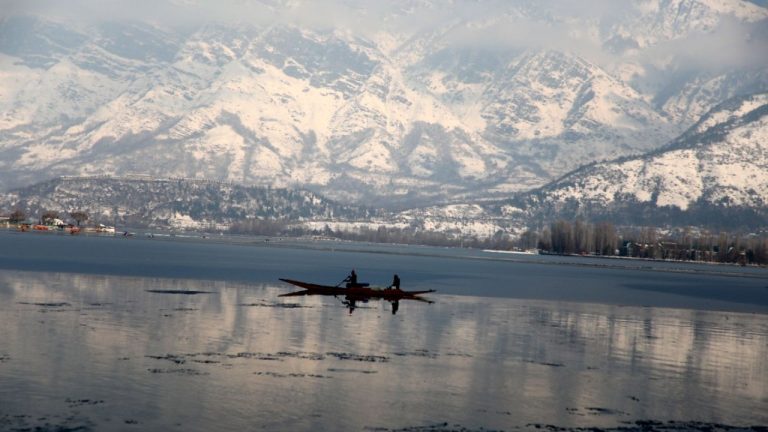

Representative image
(Bilal Bahadur/BCCL)
Tuesday 13 February: Due to the lack of western disturbances – a trend that has been continuing since December 2023 – January 2024 ended up being the driest and warmest January Jammu Kashmir has seen in 43 years! But the situation has changed since the beginning of February. This month has been wetter than normal for northern India so far, but a brief pause in rainfall is now on the horizon.
At present, the Western Disturbance continues to influence the weather across the Western Himalayan region. These disturbances are essentially low pressure systems that originate over the Mediterranean Sea and move eastward while accumulating moisture, which is then dumped over northern India.
Under the influence of this system, the India Meteorological Department (IMD) has forecast isolated light rain/snowfall over Jammu Kashmir, Himachal Pradesh and Uttarakhand during the next 24 hours.
Once the disturbance subsides, dry conditions will return and prevail in the area for the rest of this week. In fact, the weather may get warmer, as IMD expects a gradual rise of 2-4 degrees Celsius in minimum temperatures across northwest India over the next 4-5 days.
However, this dry spell will not last long. This weekend, another fresh Western Disturbance will start impacting the Western Himalayan region, bringing scattered rain/snow on Saturday and Sunday (February 17-18). Its effect may bleed into the following week as well.
Meanwhile, since the beginning of February, Ladakh (5mm), Himachal (60.8mm) and Uttarakhand (35.4mm) have recorded “significant excess” rainfall, exceeding their normal levels by 128%, 110% and 99%, respectively. On the other hand, Jammu Kashmir (41.3 mm) recorded a slight increase of 13%.
**
To get weather and science updates on the go, download Weather channel app (On Android and iOS store). It's free!

