After a cold but calm Friday, the Hudson Valley and Northeast slowly watch as Mother Nature takes a progressively quieter path over the next week or so.


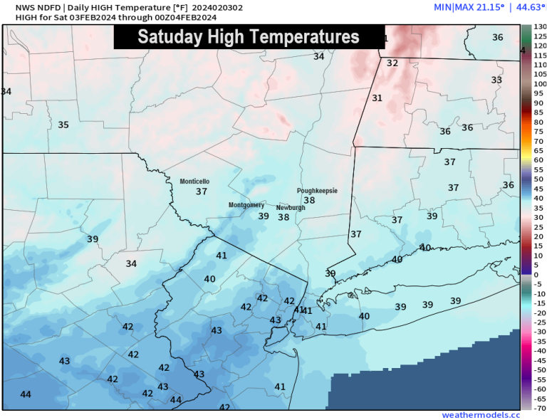
The sky will be mostly cloudy at first…then gradually becoming partly sunny to sunny during the afternoon hours. Highs are expected to reach the 30s to 40s across the region. Similar conditions are expected on Sunday. (Highs are in the low 40s.)
You'll be hard-pressed to find any stray moisture moving across the Northeast over the next five days…with big high pressure moving toward the Northeast and Great Lake


 When you look at the precipitation over the next 5 to 7 days, you can see what appears to be a “force field” keeping all the precipitation out of the Northeast Ohio Valley. Only as we move into the February 9-11 time period do these ridges collapse and allow some moisture to develop into the Hudson Valley and northeastern United States. And that's what we'll be watching over the next week or so… to see if cold air could return to the area on the same timeline as the next storm system arrives. If the timing is right, we could see snow return to the region before the middle of the month.
There's a long way to go… and there's a lot to come together. But while winter takes a short break for the next week or so…. Winter will likely return again in about a week. Enjoy the calm weather while you can…have a great weekend!

