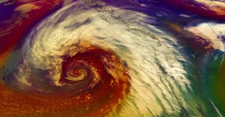
A river of atmospheric moisture, extending more than 3,000 miles past Hawaii, was flowing into California on Wednesday.
Forecasters warned Californians that unstable weather through Thursday will likely bring heavy rain, strong winds and mountain snow as the storm moves along the West Coast. A similar storm is expected to threaten the region early next week.
When an atmospheric river's tail extends toward Hawaii, like this one, it is often called the “Pineapple Express.”
Rain began during Wednesday morning in some areas and continued through the afternoon south along the coast.
Forecasters said flooding concerns, such as full storm drains that could lead to road closures, would be widespread, and the heavy rain that fell could lead to localized areas of flash flooding, with urban areas, roads, small streams and burn scars being most at risk.
The storm is expected to be a moderate atmospheric river, not approaching the strength of the “Ark Storm”, as expected. on social media in the past few days. The forecast is unlikely to be anywhere near as severe as last winter's successive series of storms that led to widespread flooding and historic amounts of snow in the region.
This midweek storm is expected to move quickly, though it still has the potential to bring flash flooding and heavy mountain snow, which could reduce the amount of rain that falls on any given location.
A foot or more of snow is expected in parts of northern and central California. Heavy snow will fall in the Sierra Nevada from late Wednesday morning through Thursday.
Farther north, meteorologists warned in a special weather statement that heavy rain during Wednesday could lead to increased landslide threats in western Washington. Consistent rainfall over the past few days, with more expected, is putting additional pressure on soil instability. At least two landslides have been reported so far in western Washington, including one in a Seattle neighborhood.
Here's what to know about timing.
-
Wednesday: A strong plume of moisture will move over California, with heavy rain falling over the northern Bay Area and Sacramento area Wednesday afternoon before drifting south in the evening and overnight.
The next atmospheric river may be stronger than this one.
Meteorologists at the Weather Prediction Center said it is “increasingly likely” that another strong weather system and possibly a “major atmospheric river event” will impact California late this weekend into early next week.
Despite several possible outcomes, the atmospheric river arriving Sunday into Monday has the potential to produce greater low-altitude rain and mountain snow than this week's event.
The worst-case scenario is that the storm system stalls off the coast, which could lead to prolonged rain and snowfall. Meteorologists in Los Angeles warned that this scenario would lead to high risks of flooding and heavy snow in the mountains.
Derek Bryson Taylor Contributed to reports.

