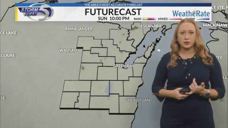
The latest weather forecast for Northeast Wisconsin from Storm Team 5…
High pressure to our southwest will keep us relatively calm for today. However, as we sit at the back of the low pressure area, we will see another day with heavy cloud cover and light drizzle/fog/wave conditions throughout the day.
As the snowpack on the ground continues to melt with warmer temperatures, moisture released into the atmosphere will continue to provide the opportunity for patchy fog to form. This patchy fog chance will last at least through Tuesday, or until the snow melts completely. The current snowpack is now down to 2 inches.
A second area of low pressure arriving to the northwest now will move south across Canada and bring our next opportunity for a fast-moving shear system late tomorrow night.
Most of Monday will be calm, but cloudy and foggy with a chance of passing light flurries throughout the day.
By late evening, a shear system will move in to provide a chance of mixed rain that will turn to snow as temperatures drop overnight.
Light or mixed snow will continue until dawn on Tuesday morning, with light flurries continuing until Wednesday morning.
This system will result in moderate accumulation with snow totals anywhere from 1-2″, but with warmer temperatures, this accumulation will be more of a slush. Roads will likely be smooth Tuesday morning.


