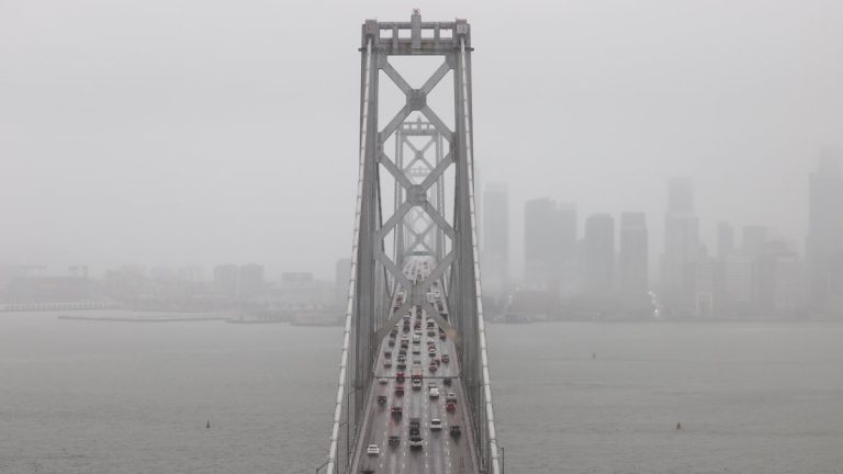
A series of three consecutive storm systems will move through the Bay Area over the weekend, drenching the region with amounts of rain that could lead to minor flooding and landslide risks in some areas.
The first system is expected to make landfall Friday evening across much of the Bay Area, while the second storm will follow on Saturday during the daytime and evening hours, according to the National Weather Service.
Then, after a pause from Saturday night into Sunday morning, the third system is expected to push in a strong jet stream from the Pacific Ocean and will likely produce moderate to heavy rain and gusty southwesterly winds Sunday afternoon into early Monday.
It could also produce thunderstorms on the Peninsula, in the North Bay, and in Santa Cruz, Monterey, and San Benito counties.
“The first and second systems are expected to drop up to an inch (of rain) in the city, and then the third system could reach an inch and a half in the city,” said Roger Gass, a meteorologist with the National Weather Service.
“The North Bay Mountains will of course see heavy rainfall — anywhere from about 7 1/2 inches from the three storms combined,” Gass said.
While the storms contain some subtropical moisture, they are not considered a classic atmospheric river, which typically moves more slowly through the region and then stops.
Frequent rains are expected over the next few days on already saturated soil, which could lead to mudslides and downed trees and power lines.
People should also be prepared for rapidly rising river and stream levels along with “nuisance” minor flooding across the region, according to the weather service.

