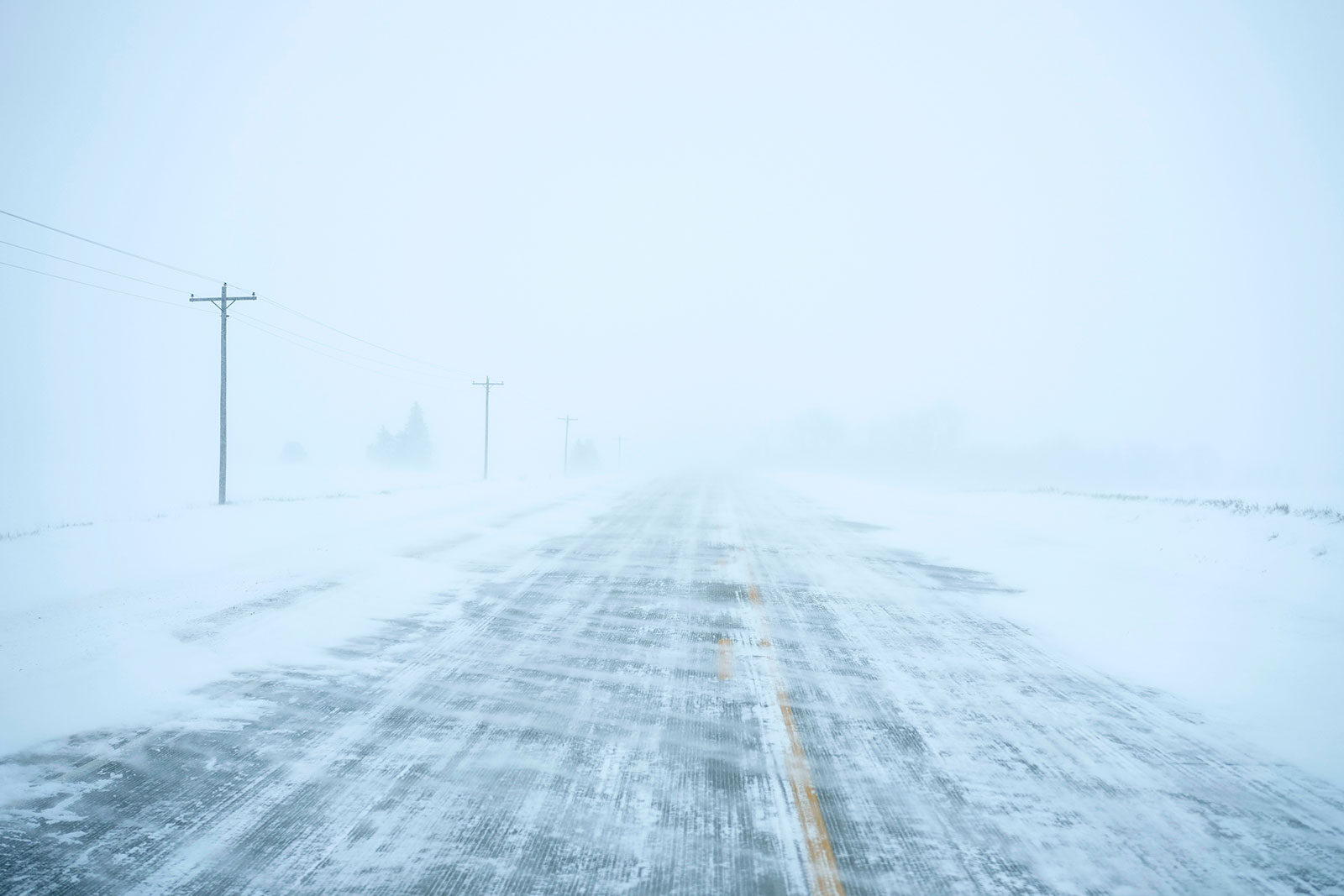
Heavy snow conditions and blizzards will continue to blast parts of the Midwest. Strong winds will also build across the region, peaking once the powerful storm reaches full strength on Friday evening.
Thunderstorms will continue to roll across the Southeast, with some possibly becoming severe during Friday afternoon and evening. Showers and thunderstorms will reach parts of the mid-Atlantic by Friday evening, and much of the Northeast will deal with rain and possible flooding by Friday night.
Here's what some of the cities in the storm's path can expect:
chicago: A mix of rain and snow Friday afternoon will gradually transition to snow Friday evening. Winds will remain gusty throughout the day, likely reaching 40 to 60 mph again Friday night. Snow will continue into Saturday as colder conditions arrive.
Atlanta: Thunderstorms will continue to develop and move through the city Friday afternoon. Some may become severe, with possible damage from wind gusts, hail, and even tornadoes. There is a Level 2 out of 5 risk for severe thunderstorms on Friday with the potential for wind gusts, hail and even tornado damage. Storms will move out of the area Friday evening, but breezy conditions will continue into Saturday.
Washington DC: There will be rain and some thunderstorms Friday evening and 1 to 2 inches of rain could drenching some areas that receive heavy rain. Winds will be very strong with possible gusts between 30 and 50 mph. The combination of wind and rain could lead to power outages. The rain is expected to subside by early Saturday morning, but strong winds will continue.
New York City: Rain, heavy at times, and strong winds of 40 to 60 mph are expected to arrive Friday night. Rainfall amounts of 1 to 2 inches are likely across the city, with higher amounts possible just to the north. The rain is expected to subside on Saturday morning, but the stormy winds will continue until the end of the week.

