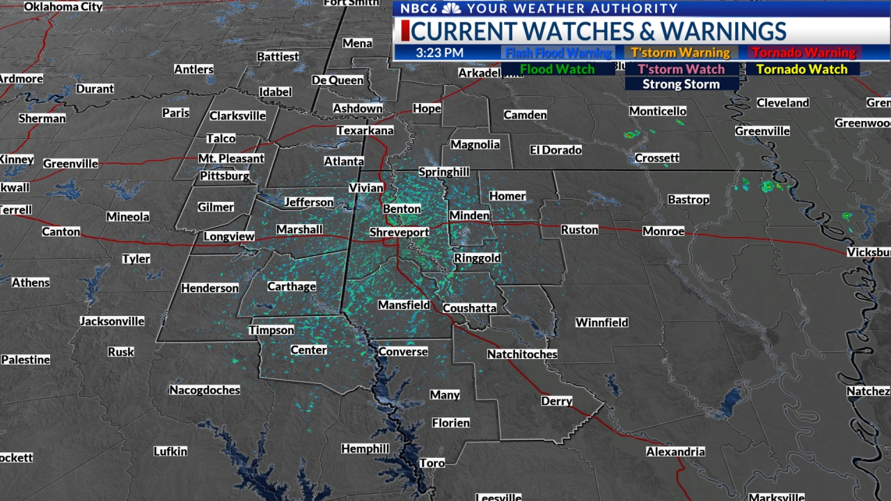
SHREVEPORT, La. (KTAL/KMSS) – ArkLaTex is now entering what will be a week of active weather. The storm threat will end today but the winds will continue Tuesday. Strong to severe storms will return Thursday night. The weekend will end with a chance of rain and freezing rain Sunday night.

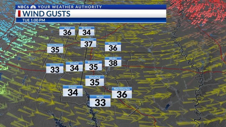
End of rain and storms: Rain and some strong storms were moving through the ArkLaTex during the day Monday. An isolated risk of a strong to severe storm with a threat of wind or hail will persist before ending Monday evening. Severe weather will likely be more prevalent in the southeast of the ArkLaTex. Winds will become the main concern Monday night and especially Tuesday. Tuesday we will see sustained winds around 25 mph with gusts that could exceed 40 mph in some locations.

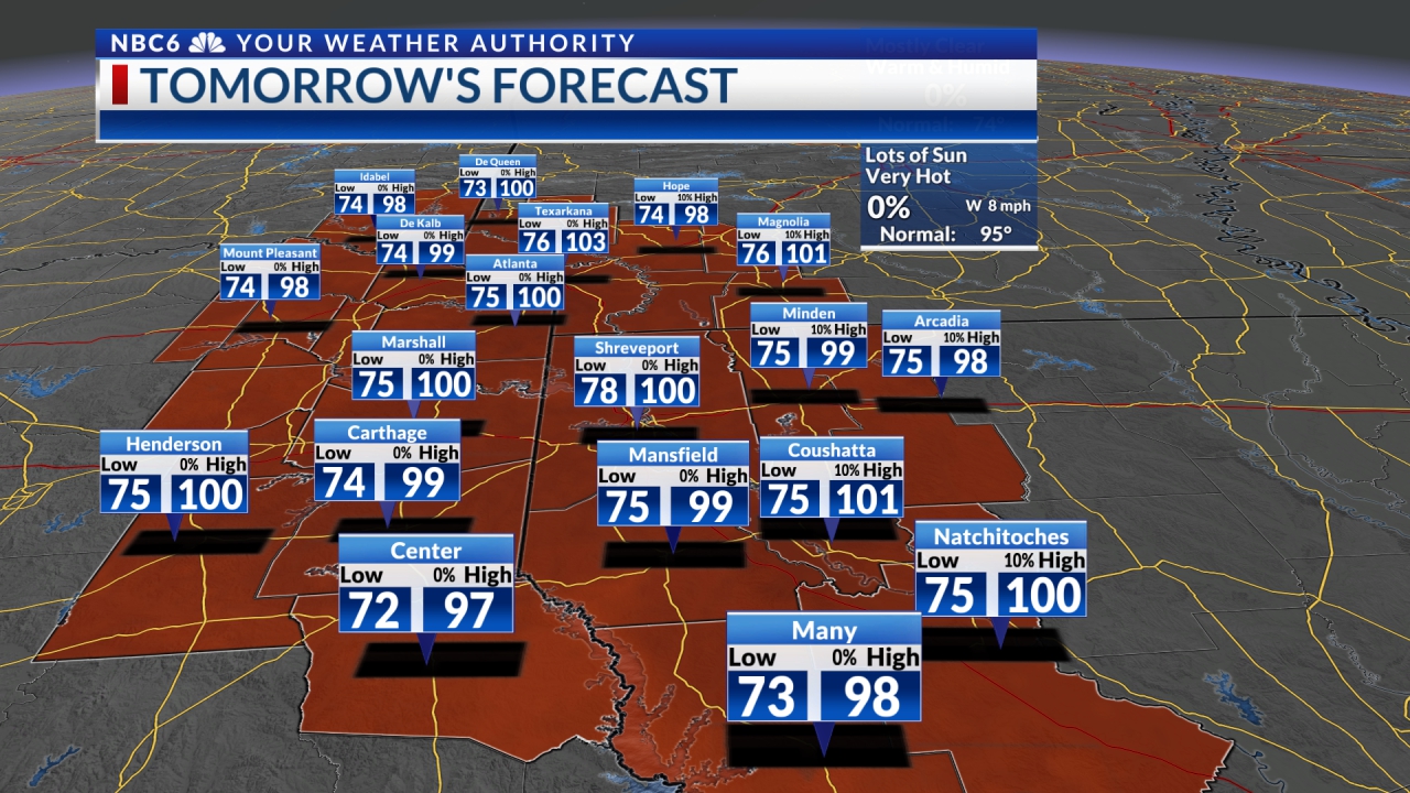
The good news on Tuesday is that the remaining clouds over much of the area during the morning will gradually give way to some sunshine. Temperatures on Tuesday will be cooler. Lows Tuesday morning will start in the low to mid 30s. We will see daytime highs in the 40s across much of the region.

A break from the rain…until Thursday evening: Futurecast shows rain exiting the ArkLaTex Monday night while most of the area will remain cloudy. Tuesday will start with heavy clouds that will gradually move from west to east. Expect clear skies Tuesday night and plenty of sunshine Wednesday. Clouds will return to the southern half of the region on Wednesday evening. Most of Thursday looks dry now with some rain falling over the eastern half of the region. Showers and thunderstorms will develop over the ArkLaTex Thursday evening and move out of the area Thursday night. A few of these storms could be strong to severe. All severe weather threats appear possible at this time.

Stay tuned Sunday night!!!! Sunshine will likely return to the ArkLaTex for most of the weekend. A strong polar front will bring the coldest winter air yet early next week. This front will bring mainly rain with the possibility of freezing rain as temperatures drop below freezing late Sunday night. It is too early to say how much ice could form. This event is one week away, so we will likely see some changes in the forecast.

Just be aware of this possibility for any trip you may take next Monday morning. Temperatures will drop behind this front early next week. Daytime highs on Monday and Tuesday will likely be in the 30s. Overnight lows could drop into the teens and 20s. Temperatures will rise to near normal levels by the end of next week. Stay tuned!
Get daily forecasts and exclusive severe weather details on storms as they approach your area by downloading the Your Weather Authority app, available now at App Store And Google Apps

